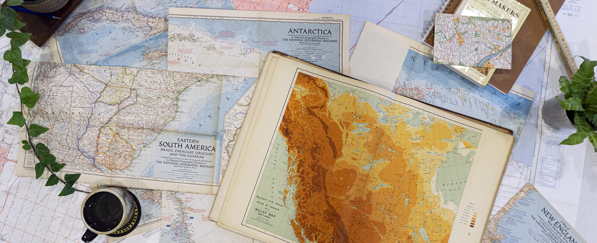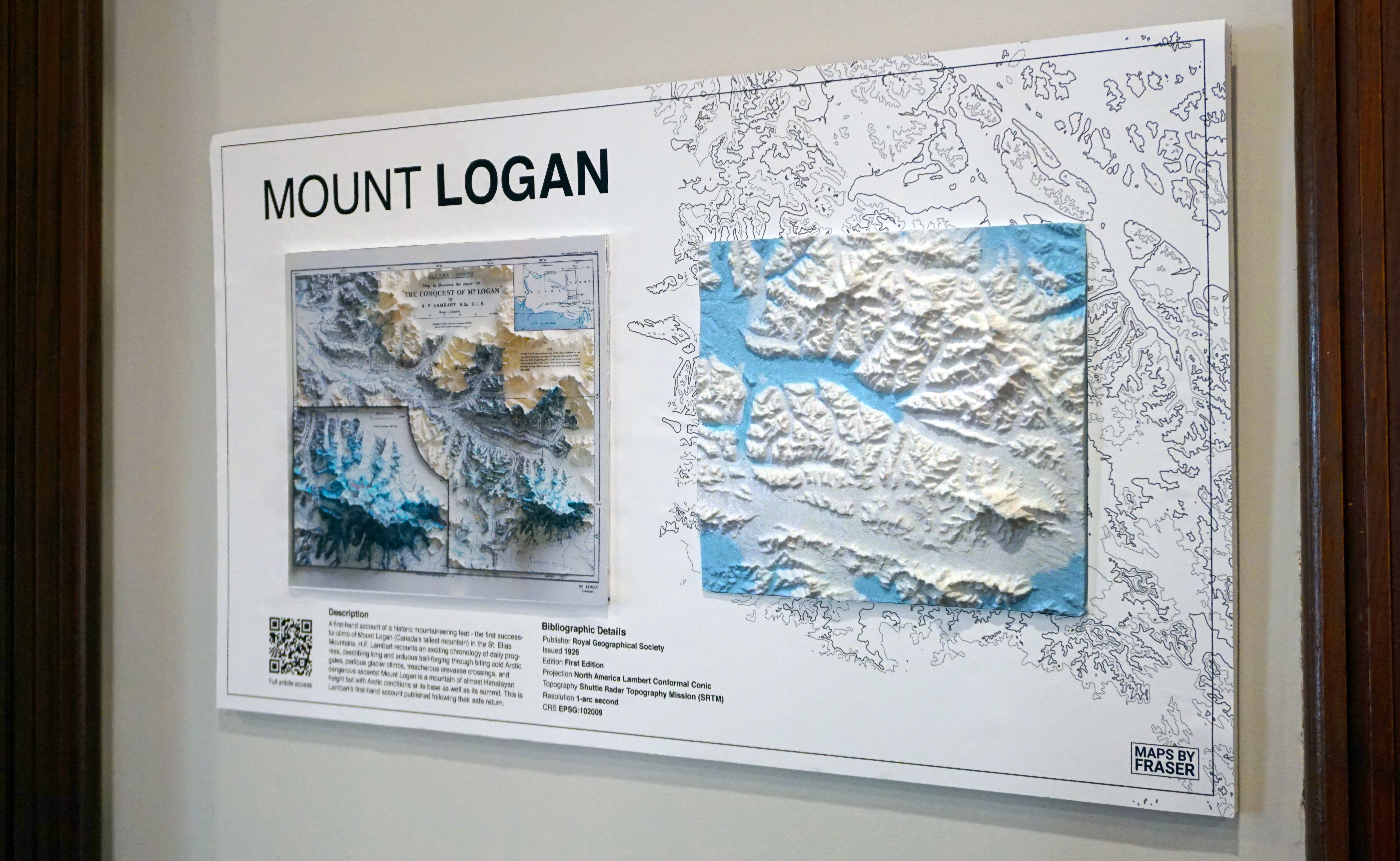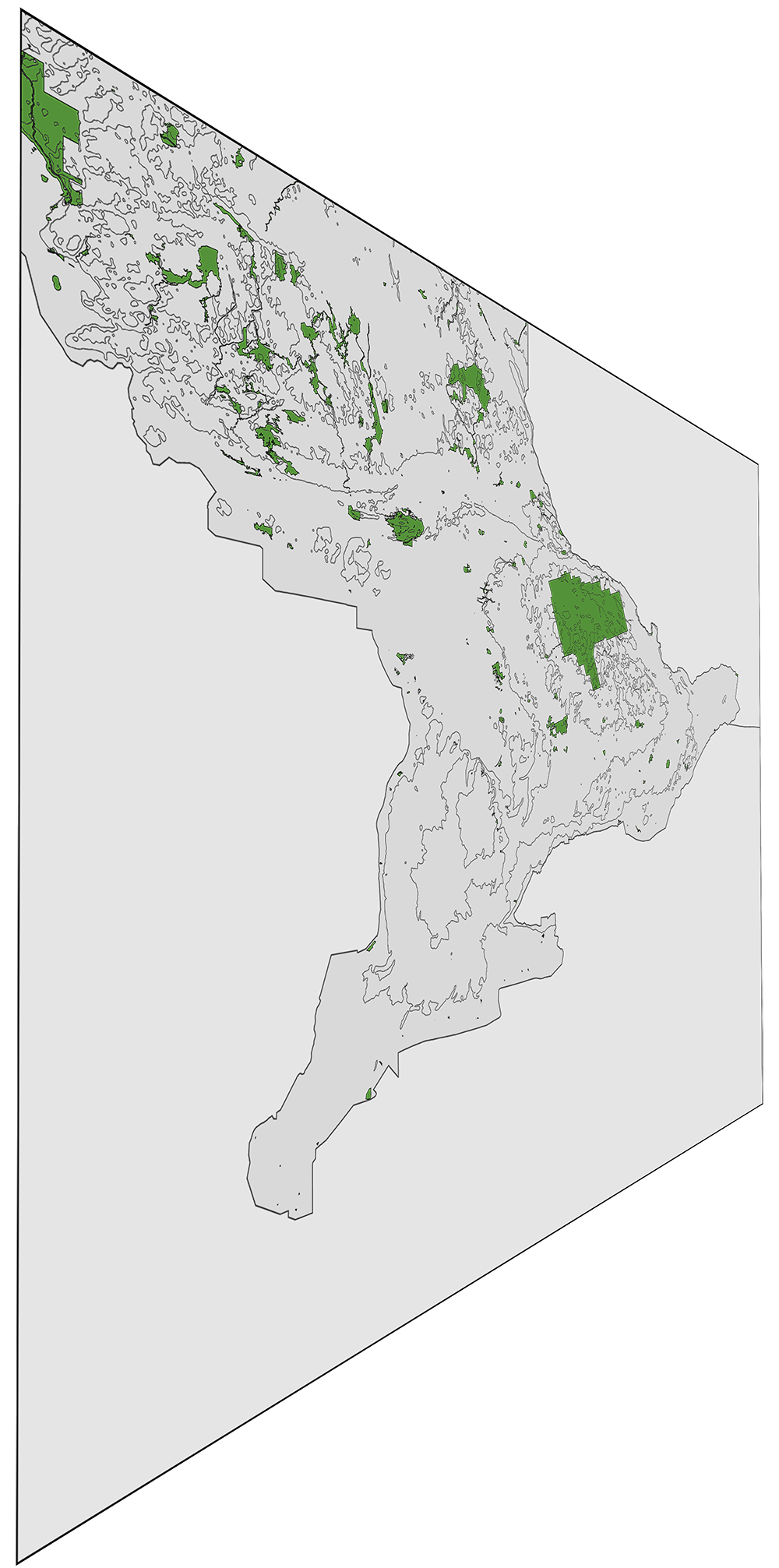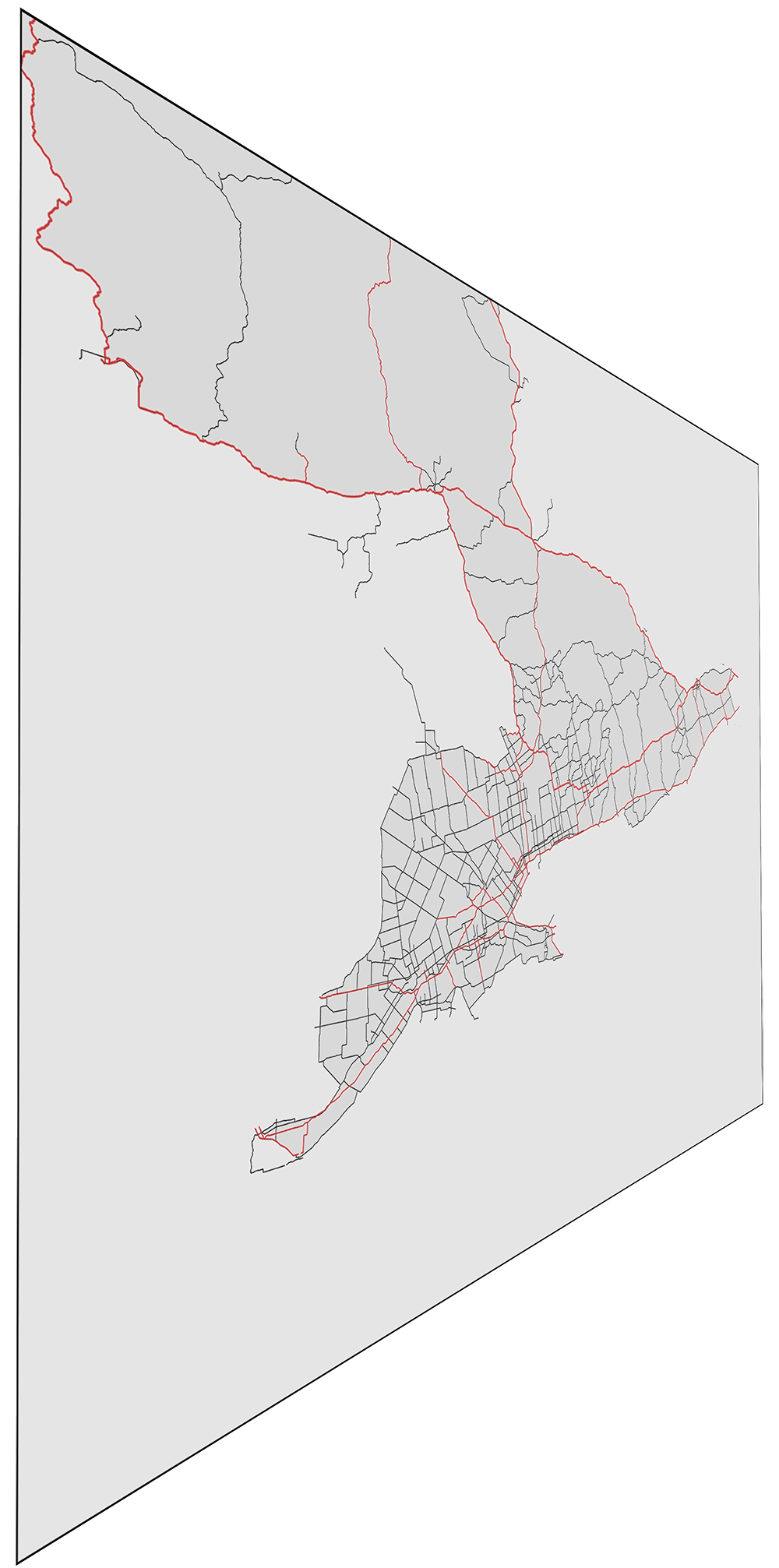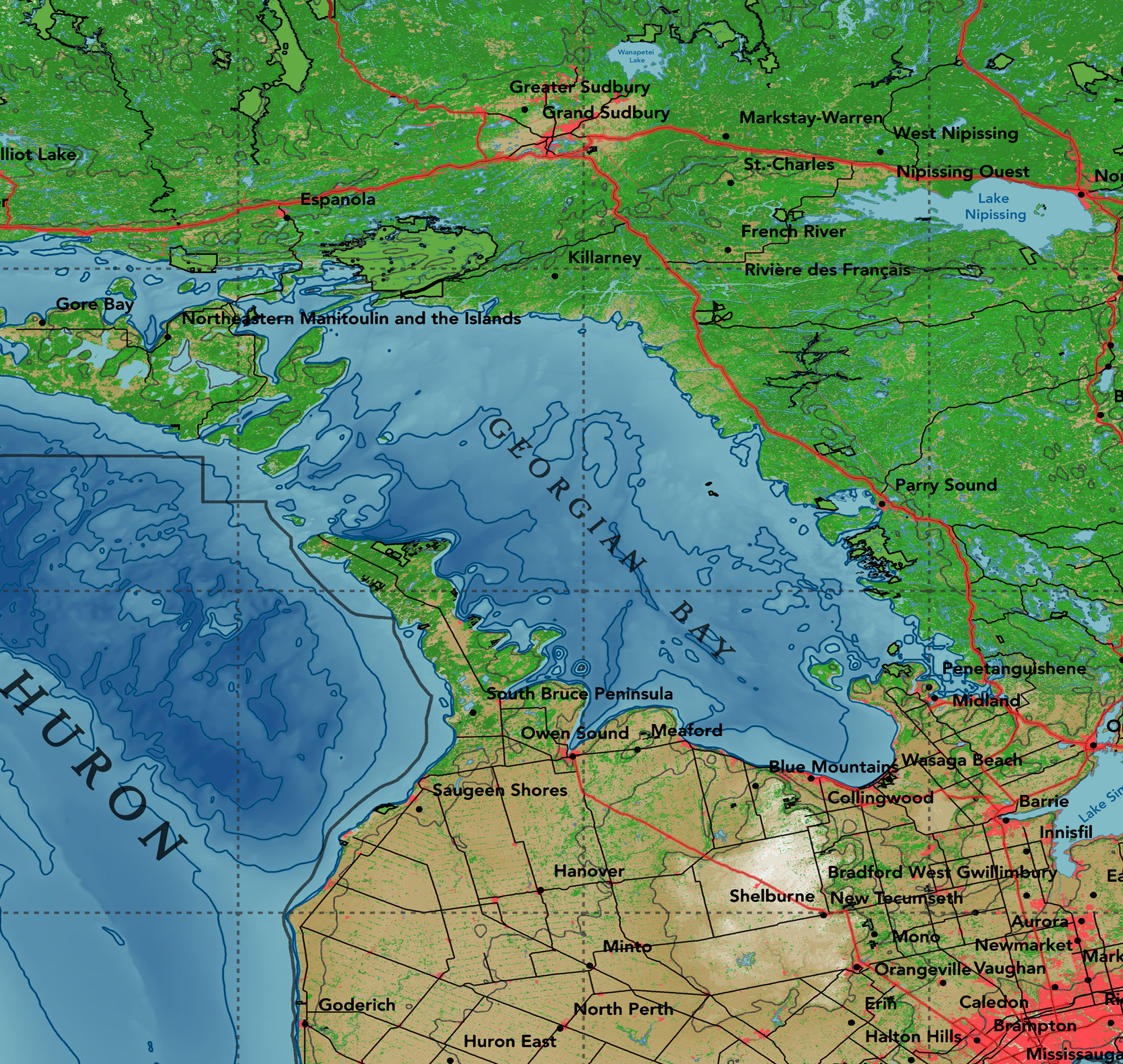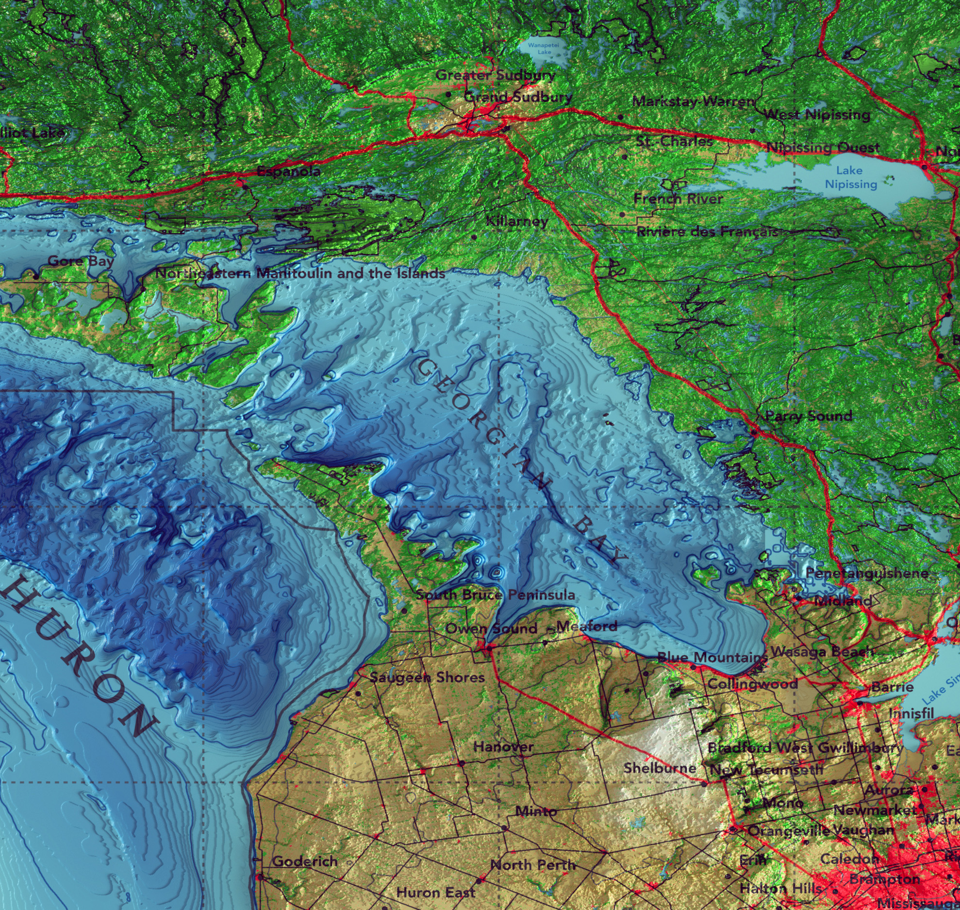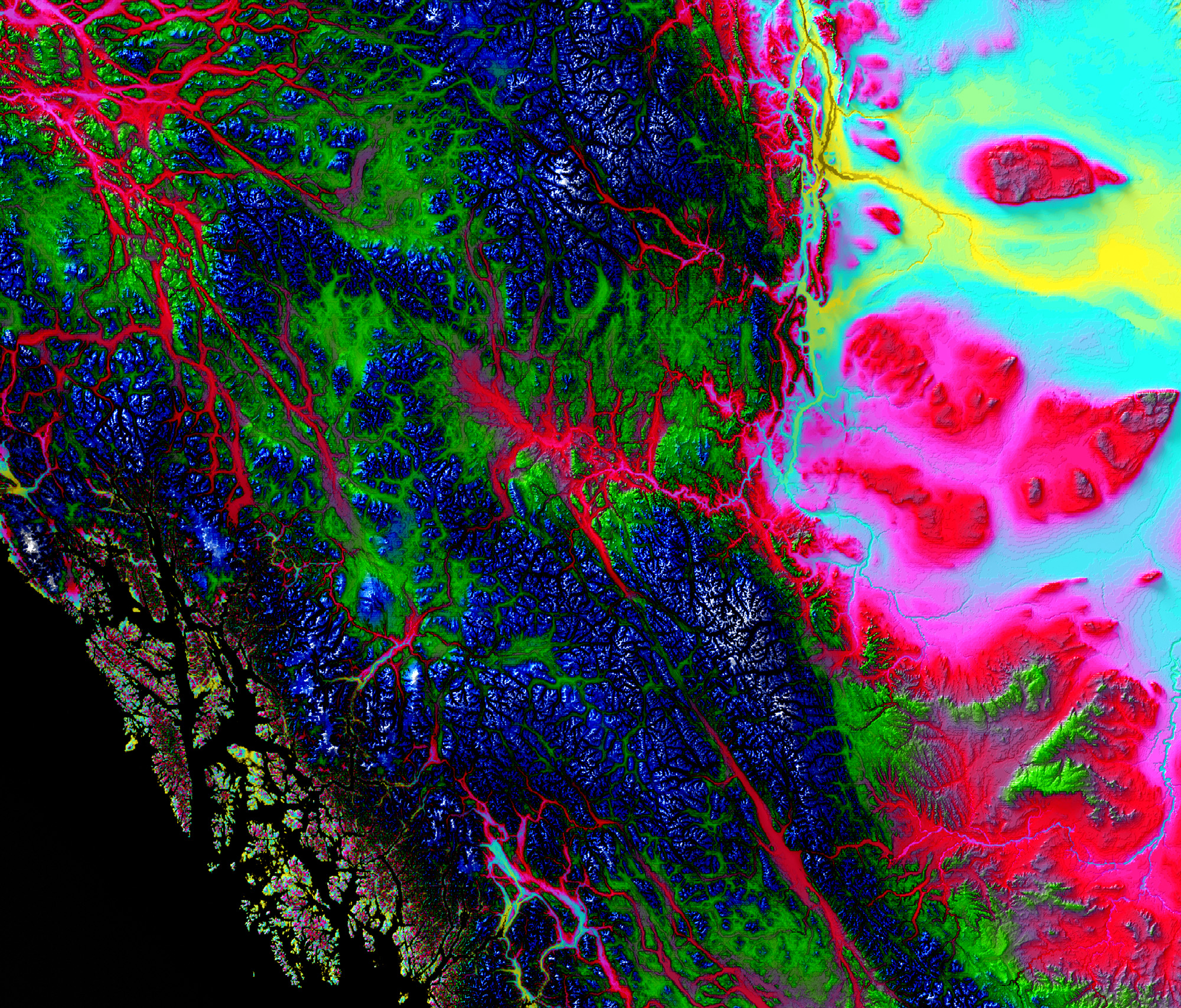
Combining the artistry of archival cartography with state-of-the-art satellite topographic data allows us to derive a new perspective for viewing bygone eras. From small scale snapshots in time of historic provinces and territories, to Canada-wide topographic hypercolours, we offer a wide variety of map collections that are available for purchase!
Our maps are printed using a professional, archival Giclée printing technique on smooth, matte paper to retain the quality of the original prints. Each of our maps are offered in a variety of different sizes, and are shipped directly to your door! Visit the shop for more details.
Choose from a selection of high quality archival printing techniques and paper types to find the perfect map for you. We offer an incredible high-quality, pigment-based Giclée printing option to retain the quality and colour of the original map, along with stunning photographic quality prints on you choice of either matte or glossy paper. Read more here.
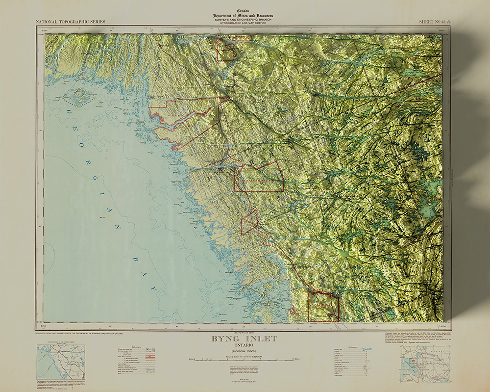
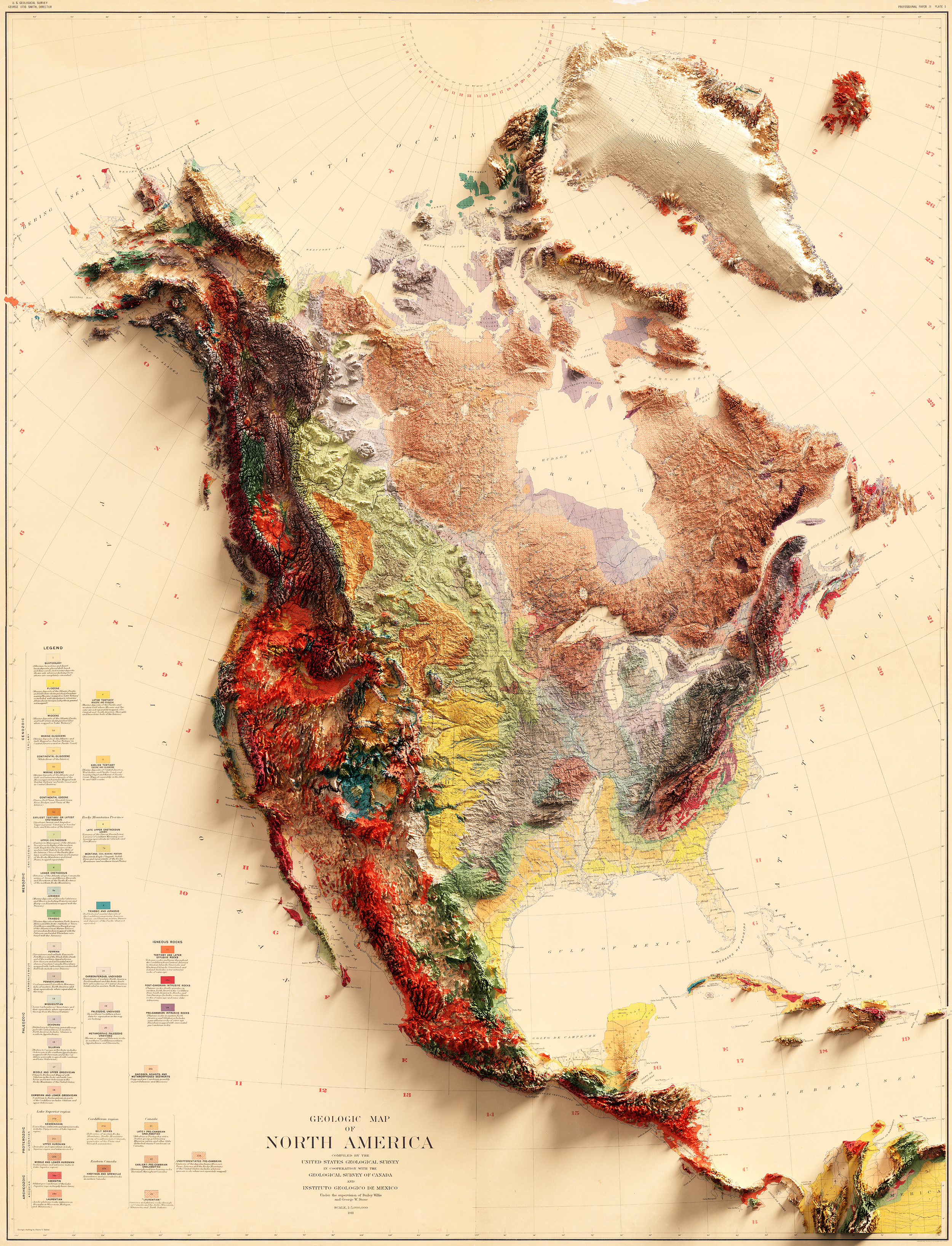
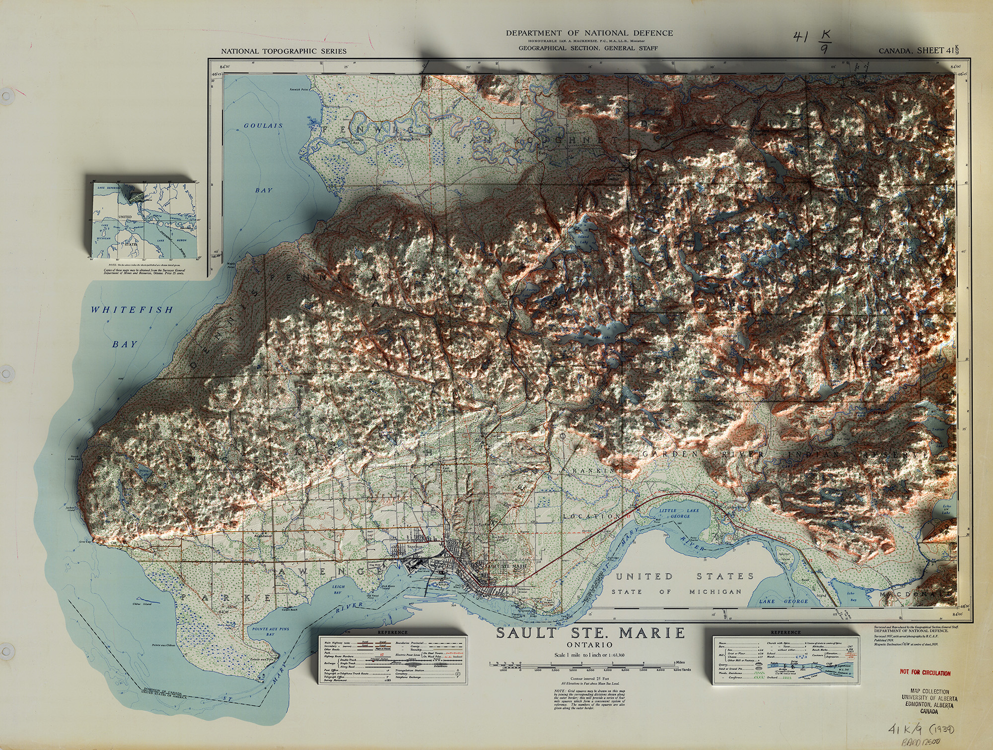
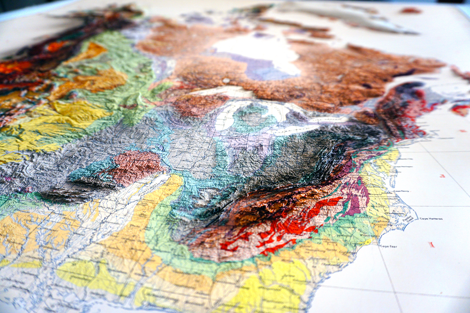
Each map is hand-collected by our team and digitally scanned to preserve as much detail as possible from the original drawn map. Step back in time and revisit Canada as it existed in the late-19th and early-20th centuries.
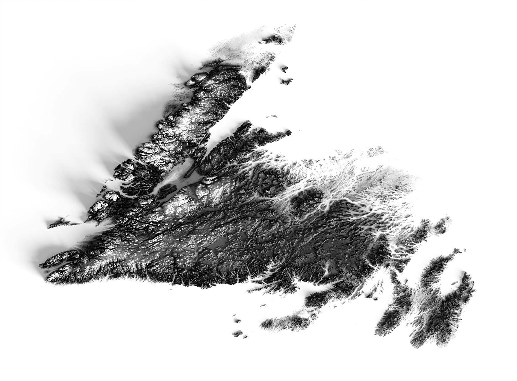
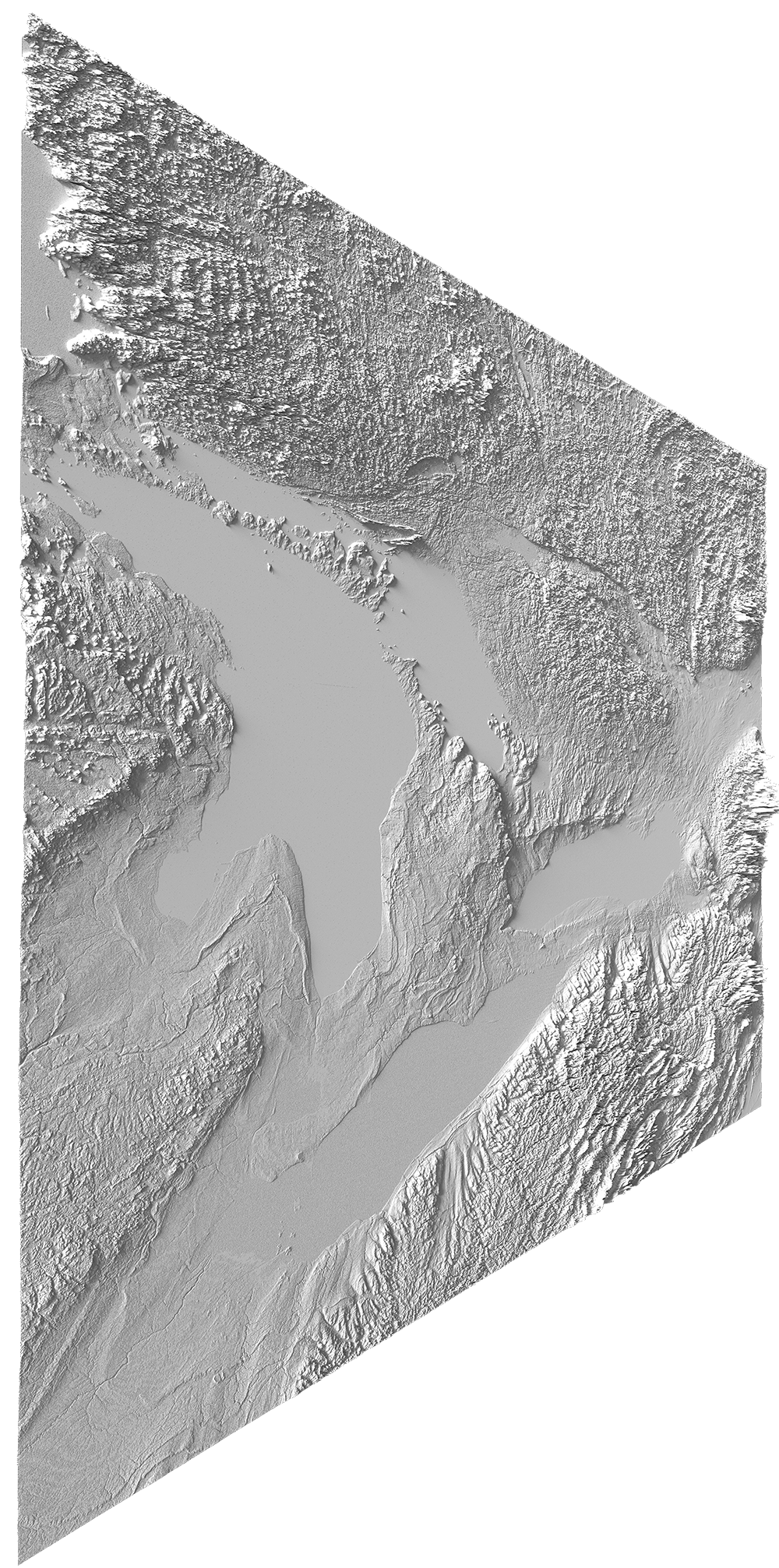
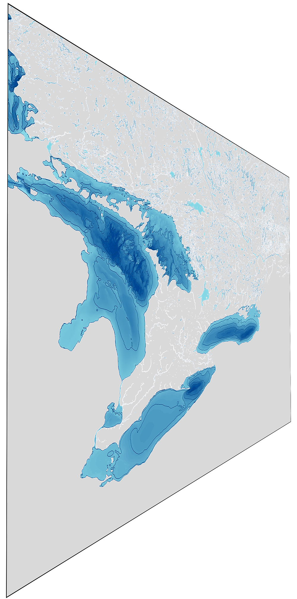
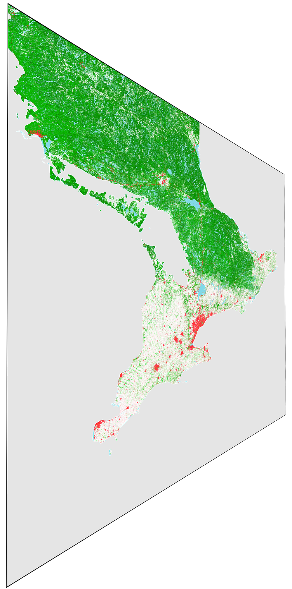
Each map is carefully fused with high resolution digital elevation datasets retrieved from state of the art remote sensing instruments on NASA satellites orbiting the Earth at thousands of kilometers per hour!
For product inquiries or suggestions for future maps, fill out our contact form here or reach out to us via WhatsApp or Messenger.
Additionally, you can also reach us through our business email at frasertheking@gmail.com and we will get back to you ASAP.